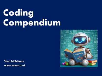
Coding Compendium
A free 100-page ebook collecting my projects and tutorials for Raspberry Pi, micro:bit, Scratch and Python. Simply join my newsletter to download it.
Use this world map to explore my travel photography. Zoom in to separate the pins, tap or click a pin, and click the thumbnail to see the full photo and description. You can then browse related photos from the same town, city or country. More instructions below.
If you're using a touch device (such as an iPhone or iPad), use two fingers to move the map around and use the pinch gesture to zoom. On devices with a small screen, you might find it easier to use your device in landscape orientation (turn it sideways).
Zoom in to separate pins that are close together.
Tap or click a pin to see its photo, and then tap the photo to visit its webpage where you can see it larger and find out more about it.
For iconic landmarks, I've positioned the pins as close to their real location as possible, so you can zoom in for a satellite view of the area.
Not all my hundreds of travel photos are on this map, so remember to browse the full gallery too!
© Sean McManus. All rights reserved.
Visit www.sean.co.uk for free chapters from Sean's coding books (including Mission Python, Scratch Programming in Easy Steps and Coder Academy) and more!
A free 100-page ebook collecting my projects and tutorials for Raspberry Pi, micro:bit, Scratch and Python. Simply join my newsletter to download it.
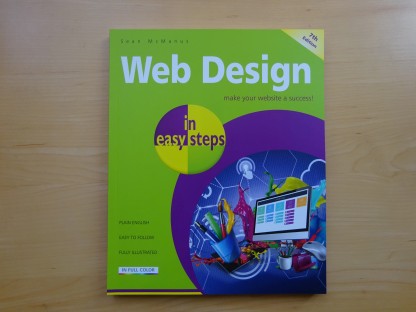
Web Design in Easy Steps, now in its 7th Edition, shows you how to make effective websites that work on any device.
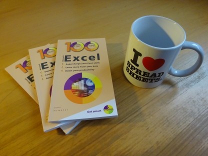
Power up your Microsoft Excel skills with this powerful pocket-sized book of tips that will save you time and help you learn more from your spreadsheets.
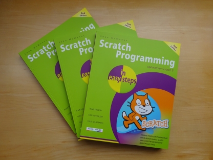
This book, now fully updated for Scratch 3, will take you from the basics of the Scratch language into the depths of its more advanced features. A great way to start programming.
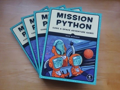
Code a space adventure game in this Python programming book published by No Starch Press.
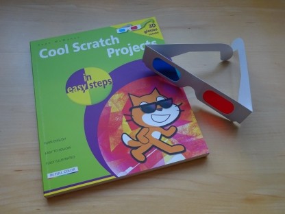
Discover how to make 3D games, create mazes, build a drum machine, make a game with cartoon animals and more!
![]() Top | Search | Help | Privacy | Access Keys | Contact me
Top | Search | Help | Privacy | Access Keys | Contact me
Home |
Newsletter |
Blog |
Copywriting Services |
Books |
Free book chapters |
Articles |
Music |
Photos |
Games |
Shop |
About